
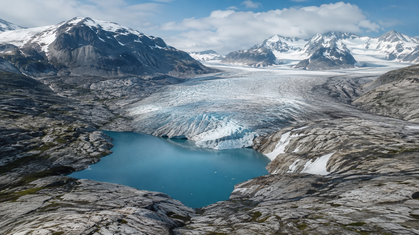

Researchers at Uppsala University have helped create a global map showing where 56,659 future glacial lakes could form as glaciers retreat. The study covers more than 200,000 glaciers outside the main ice sheets of Greenland and Antarctica.
The possible lakes could cover 40,647 square kilometres and hold up to 3,138 cubic kilometres of water. However, the figures show the maximum potential in a landscape without glacier ice – they are not a forecast that every lake will form. The study was published in Nature Communications on 2 May 2026.
In brief:
- Main finding: Researchers identified locations for 56,659 possible future glacial lakes.
- Period: The study was published on 2 May 2026.
- Data source: Nature Communications and a global glacier model developed with researchers in Uppsala.
- Scale: The lakes could cover 40,647 square kilometres and hold 3,138 cubic kilometres of water.
- Who it concerns: Communities, authorities and infrastructure operators in glacier regions.
Uppsala study identifies future glacial lakes
The research was led by Thomas Frank and Ward van Pelt from the Department of Earth Sciences at Uppsala University. Other authors came from Carnegie Mellon University in the United States, the University of Lausanne in Switzerland and the University of Oslo in Norway. Regine Hock was also affiliated with the University of Alaska Fairbanks.
Frank carried out the simulations and data analysis, while Frank and van Pelt designed the study with help from Hock. The researchers created a global dataset called Topography of a Deglaciated Earth, or TOPO-DE v1.0.
The map shows the estimated shape of the land currently hidden beneath glacier ice. This includes valleys, basins and deep depressions where water may collect after a glacier retreats.
Direct measurements of glacier beds are available for only about 2 per cent of the world’s glaciers. Researchers must therefore estimate the hidden terrain by combining surface observations with models of ice thickness, movement and mass balance.
How researchers mapped hidden terrain
The team used the Instructed Glacier Model, known as IGM. It is a three-dimensional ice-flow model that uses physics-informed deep learning and graphics processors to complete complex calculations more quickly.
The model combined information from several global datasets. These included glacier boundaries, digital elevation models, changes in surface height and measurements of ice movement. It was also calibrated using more than 3.8 million observations of ice thickness.
Researchers analysed more than 200,000 glaciers listed in the Randolph Glacier Inventory. Adjacent glaciers were treated as connected systems where necessary, helping the model avoid unnatural breaks in the estimated landscape.
The calculations produced terrain maps with a resolution of between 100 and 400 metres. Smaller glacier systems were mapped at a higher resolution, while the largest systems required a wider grid.
The resulting maps show features normally found beneath glaciers, including U-shaped valleys, glacial basins and land that lies below sea level. The complete TOPO-DE dataset is publicly available, allowing other researchers to examine individual regions.
Future glacial lakes could cover 40,647 km²
The researchers searched the modelled terrain for depressions that could hold water. They counted possible lakes with an area of at least 0.05 square kilometres and a modelled depth of at least five metres.
The results identified 56,659 potential lakes. Together, they could cover 40,647 square kilometres, equal to almost 6 per cent of the land that would become ice-free.
For comparison, lakes cover around 2 per cent of the world’s existing non-glaciated land. The future ice-free landscape could therefore contain about three times the normal share of lake surface.
The lakes could hold a maximum of 3,138 cubic kilometres of water. The study estimates that the water stored above sea level could reduce the potential contribution of complete global glacier melt to sea levels by around seven millimetres, or about 2 per cent.
This does not mean that glacier lakes would stop sea-level rise. They would temporarily hold some meltwater on land instead of allowing it to flow directly into the sea.
The largest potential lake volumes were found in Alaska, northern Arctic Canada and the southern Andes. Alaska alone accounted for an estimated 854 cubic kilometres, while northern Arctic Canada had 436 cubic kilometres and the southern Andes had 408 cubic kilometres.
High Mountain Asia faces flood hazards
The study gives particular attention to High Mountain Asia, which includes the Himalayas, Karakoram, Hindu Kush, Pamir and Tien Shan mountain ranges.
Researchers found that many of the largest potential lakes in this region were close to the lower ends of glaciers. These areas can be near settled valleys, roads, farms and energy infrastructure.
The model does not show what material would form each lake barrier. However, the location of the depressions suggests that many could be held back by moraines – ridges of rock and sediment left by moving glaciers.
A moraine-dammed lake may become dangerous if its natural barrier fails. A sudden release of water is called a glacial lake outburst flood, commonly shortened to GLOF.
Such a flood can send water, mud, rocks and ice through a valley. Possible triggers include an avalanche entering the lake, erosion of the barrier or a landslide from a nearby slope.
The new study does not calculate how many people would be affected by its predicted lakes. A separate Nature Communications study published in 2023 estimated that around 15 million people were exposed to the possible effects of existing glacial lake outburst floods.
About 9.3 million of those people lived in High Mountain Asia. More than half of the global exposed population was concentrated in India, Pakistan, Peru and China.
The researchers behind the Uppsala-led study said large depressions near glacier fronts could increase future GLOF hazards as glaciers continue to retreat. Local assessments would still be needed before judging the danger from an individual lake.
The figures show maximum lake potential
The number 56,659 describes a theoretical upper limit. The model examines what the landscape could look like if glacier ice were removed from all the areas included in the study.
It does not predict that all the lakes will appear during this century. It also does not provide a formation date for each lake.
Future erosion, sediment movement and the failure of natural barriers may prevent some lakes from forming. Other lakes may appear and later drain when water finds a route through the surrounding terrain.
The model may also miss small drainage channels because of its resolution. The authors therefore removed very small or shallow depressions to reduce the risk of counting features created by modelling uncertainty.
The study covers glaciers that are separate from the main Greenland and Antarctic ice sheets. It includes smaller glaciers around Greenland and on sub-Antarctic islands, but it does not model the complete terrain beneath the two major ice sheets.
The calculated glacier volumes relate approximately to conditions in 2013 because the observations used by the model came from different years. The map represents present-day bed shapes and does not include long-term changes caused by the land rising after ice disappears.
Swedish research supports global planning
Uppsala University has been working on methods to estimate the thickness and volume of glaciers around the world. An Uppsala research project aimed to improve projections of glacier loss, freshwater availability and future sea-level changes.
The new study received funding from the Swedish Research Council. Ward van Pelt also received support from the Swedish National Space Agency, while computing resources were provided through Sweden’s National Academic Infrastructure for Supercomputing at Chalmers University of Technology.
The maps could help researchers improve models of glacier retreat and sea-level rise. They may also support regional studies of water storage, hydropower, new ecosystems and flood hazards.
The authors warned that local decisions should not rely only on the global dataset. Bed shape, ice thickness and possible lake locations must be checked against more detailed observations before authorities plan construction or safety measures in a specific valley.
TOPO-DE v1.0 can be updated as more glacier measurements become available. This will allow scientists to refine the locations and sizes of possible future lakes and improve regional risk assessments.
